Dominican Republic Map Learning Games

Use this Dominican Republic map learning path to start with geography games for map, capital, and flag or symbol practice across the country's 32 provinces. Start with the capital area around National District, Santo Domingo, and Monte Plata, then place Cibao anchors such as Puerto Plata, Santiago, La Vega, Duarte, and Samana, the eastern tourism and coast set of Hato Mayor, San Pedro de Macoris, El Seibo, La Altagracia, and La Romana, and the border strip of Monte Cristi, Dajabon, Elias Pina, Independencia, and Pedernales. Then add cabeceras and visual symbols for a fuller regional review. Over time, the path can broaden from those core geography games into longer Dominican Republic review.

Start with the Dominican Republic provinces map quiz, move into province capitals for cabeceras, then use flags and symbols as a visual review layer.

Play Free

Build Dominican Republic map learning recall in layers

The map learning path connects the related learning paths for the same 32 top-level regions. Learn the capital area, Cibao, eastern coast, southwest, and border strip on the map, then add city anchors and visual symbols.

Frequently asked questions

Which Dominican Republic map learning game should I start with?

Start with the Dominican Republic Provinces Map Quiz. Once National District, Santo Domingo, and Monte Plata, Puerto Plata, Santiago, La Vega, Duarte, and Samana, the eastern set, and Monte Cristi, Dajabon, Elias Pina, Independencia, and Pedernales are clear, the cabeceras and flags pages are easier.

Do the Dominican Republic map learning games cover all 32 provinces?

Yes. The path is derived from the shared geography data for Puerto Plata, Santiago, Espaillat, Valverde, La Vega, Monsenor Nouel, Sanchez Ramirez, Duarte, Hermanas Mirabal, Maria Trinidad Sanchez, Samana, Dajabon, Monte Cristi, Santiago Rodriguez, Peravia, San Cristobal, San Jose de Ocoa, Azua, Bahoruco, Barahona, Independencia, Pedernales, Elias Pina, San Juan, Santo Domingo, National District, Monte Plata, Hato Mayor, San Pedro de Macoris, El Seibo, La Altagracia, and La Romana. Includes 31 provinces and the Distrito Nacional (capital national district).

What are cabeceras in the Dominican Republic capitals path?

cabeceras are the city anchors used for the province capitals path. The quiz helps learners match pairs such as Puerto Plata-San Felipe de Puerto Plata, Espaillat-Moca, Valverde-Mao, Duarte-San Francisco de Macoris, Hermanas Mirabal-Salcedo after they know the map.

Why practice Dominican Republic regional flags after capitals?

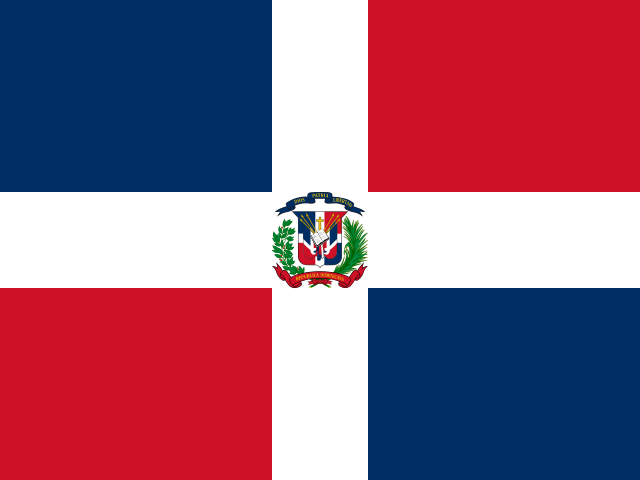
Flags and symbols work best after learners can place the regions and identify their cabeceras. A symbol becomes easier to remember when it is tied to a map shape, a city, and a broad group such as Cibao or the border strip.