Coverage Dominican Republic Province Flags and Symbols Practice
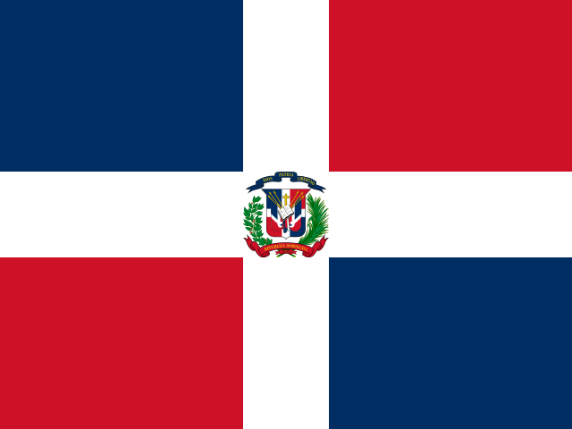
The Dominican Republic flags page supports visual recognition for the same 32 provinces used by the map and capital quizzes. It connects flags, emblems, and provincial symbols to real locations: National District, Santo Domingo, and Monte Plata around the capital, Cibao anchors such as Puerto Plata, Santiago, La Vega, Duarte, and Samana, eastern Hato Mayor, San Pedro de Macoris, El Seibo, La Altagracia, and La Romana, and border Monte Cristi, Dajabon, Elias Pina, Independencia, and Pedernales.
Who plays For visual learners studying Dominican Republic regional symbols
This Dominican Republic flags page is for learners searching for Dominican Republic province flags, regional emblems, or visual geography practice. It supports diaspora families, Spanish classes, Caribbean studies, travelers, and quiz players who already know the map and want a symbol-based review path.
Study plan Pair each symbol with a region group
Use visual practice after map and capital review. Attach each flag, emblem, or symbol to one strong place group: the capital area, Cibao, the east, the southwest, or the border strip. For harder symbols, say the cabeceras too, using examples like San Felipe de Puerto Plata, Moca, Mao, San Francisco de Macoris, Salcedo, and Nagua to tie image, city, and map together.