Vanuatu Map Learning Games
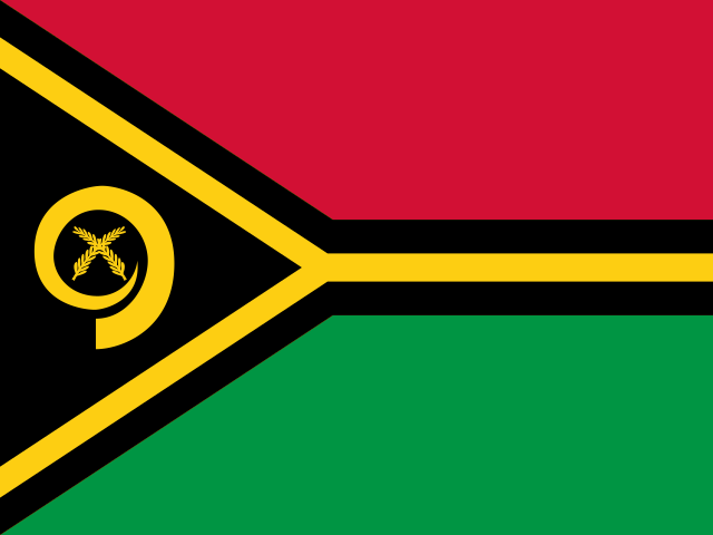
Use this Vanuatu map learning path to start with geography games for map, capital, and visual-symbol practice across the country's 6 provinces. Start with the province map to place the Y-shaped archipelago from the northern group Torba, Sanma, and Penama through Malampa to the southern group Shefa and Tafea. Then use capital practice to connect Port Vila, Luganville, and the smaller seats Sola, Longana, Lakatoro, and Isangel. The flags path adds visual cues after each province has a map position, with room to broaden into longer-term dashboard review.
Begin with the provinces map quiz to learn the island chain, move into capital matching, then use flags and symbols as a visual review layer.