Coverage Poland Voivodeships Map Quiz Coverage
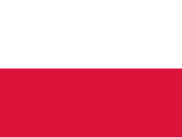
The Poland voivodeships map quiz covers all 16 voivodeships. The west uses West Pomerania, Lubusz, Greater Poland, and Lower Silesia; the north uses Pomerania, Kuyavia-Pomerania, and Warmia-Masuria; the central belt includes Masovia, Lodz, Opole, and Swietokrzyskie; and the east and south use Podlasie, Lublin, and Podkarpackie plus Silesia, Lesser Poland, and Podkarpackie. These groups turn the map into a sequence learners can repeat.
Who plays For geography students, teachers, and Poland learners
This Poland map quiz is for learners searching for Poland voivodeships, Poland administrative divisions, or focused voivodeship practice. It supports classroom geography, homeschool review, Polish-language study, diaspora learning, travel planning, history study, and quiz preparation by tying each name to a clear map location.
Study plan Learn Poland by map corridors
Start with Masovia and Warsaw, then add Lodz, Opole, and Swietokrzyskie around the middle. Move west through West Pomerania, Lubusz, Greater Poland, and Lower Silesia, north through Pomerania, Kuyavia-Pomerania, and Warmia-Masuria, and east through Podlasie, Lublin, and Podkarpackie. Finish with the southern route around Silesia, Lesser Poland, and Podkarpackie, where major city anchors help fix the final shapes.