Hungary Map Learning Games
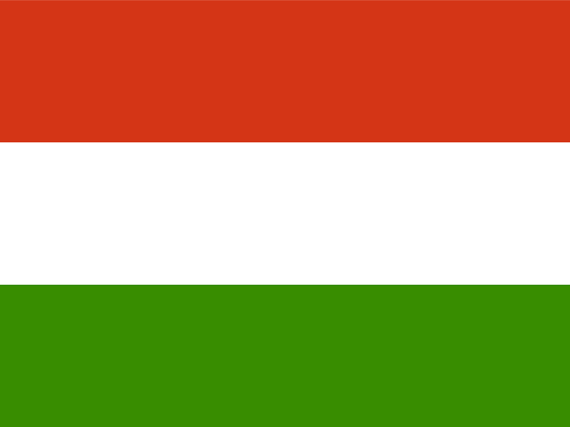
Use this Hungary map learning path to start with geography games for map, capital, and visual-symbol practice for the country's 20 counties. Start with the county map to separate Budapest from Pest, then group Transdanubia, the northern highlands, and the Great Plain. Move into county seat practice for pairs such as Budapest-Budapest, Hajdu-Bihar-Debrecen, Csongrad-Csanad-Szeged, Borsod-Abauj-Zemplen-Miskolc, then add flags, coats of arms, and regional symbols so each varmegye has a shape, city, and visual cue before learners open the dashboard game. Over time, this map learning path can broaden from map-capital-flag practice into additional learning formats.
Begin with the Hungary counties map quiz, use the capitals quiz to match county seats, then review flags, coats of arms, and regional symbols as a visual memory layer.