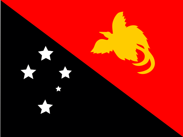
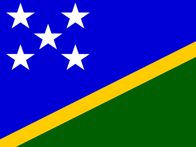
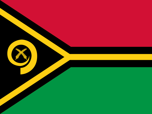
Coverage Papua New Guinea Province Flags and Symbols Practice
The flags page supports visual recognition for the same 22 entries used in the Papua New Guinea map and capitals games. It keeps flags, emblems, and regional symbols connected to geography groups: Highlands Chimbu, Eastern Highlands, Enga, Hela, Jiwaka, Southern Highlands, and Western Highlands, Momase East Sepik, Madang, Morobe, and West Sepik, Southern Central, Gulf, Milne Bay, Northern, Western, and National Capital District, and Islands Bougainville, East New Britain, Manus, New Ireland, and West New Britain. That structure gives every visual cue a place and a capital anchor.
Who plays For visual learners studying Papua New Guinea regional symbols
This Papua New Guinea regional flags page is for learners searching for Papua New Guinea province flags, regional emblems, or visual geography practice. It supports Pacific studies classes, diaspora families, field workers, travelers, and quiz players who already know the map and want symbols to reinforce National Capital District, Bougainville, Highlands provinces, and island groups.
Study plan Pair each symbol with a region group
Use visual practice as the final layer. Sort symbols by the four broad groups first: Chimbu, Eastern Highlands, Enga, Hela, Jiwaka, Southern Highlands, and Western Highlands, East Sepik, Madang, Morobe, and West Sepik, Central, Gulf, Milne Bay, Northern, Western, and National Capital District, and Bougainville, East New Britain, Manus, New Ireland, and West New Britain. Then attach a capital cue such as Port Moresby, Lae, Mount Hagen, Rabaul, and Buka. After a flags round, replay the map or capitals game so each symbol stays tied to location.