Coverage Panama Regional Flags and Symbols Practice
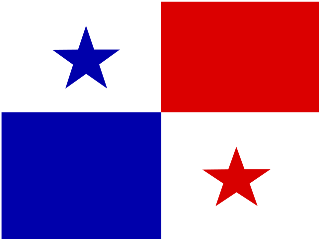
The Panama visual practice page supports recognition of flags, emblems, and regional symbols for 10 provinces and 6 comarcas. Tie symbols to Panama, Panama Oeste, and Colon for the canal, Bocas del Toro, Chiriqui, Ngabe-Bugle, and Naso Tjer Di for the west, Cocle, Herrera, Los Santos, and Veraguas for Azuero and central review, and Darien, Embera-Wounaan, Guna Yala, Guna de Madungandi, and Guna de Wargandi for eastern and comarca anchors.
Who plays For visual learners studying Panama regional symbols
This Panama regional flags page is for learners searching for province flags, comarca symbols, regional emblems, or visual geography practice. It supports Spanish classes, canal-zone study, travel planning, indigenous-studies work, diaspora learning, and quiz review. The visual layer is most useful after learners know the map and can match cabeceras to regions.
Study plan Pair each symbol with a map clue
Use visual practice after map and capital review. Attach each flag, emblem, or symbol to one clue: Panama, Panama Oeste, and Colon for the canal, Bocas del Toro, Chiriqui, Ngabe-Bugle, and Naso Tjer Di for the west, Cocle, Herrera, Los Santos, and Veraguas for Azuero and center, and Embera-Wounaan, Guna Yala, Ngabe-Bugle, Naso Tjer Di, Guna de Madungandi, and Guna de Wargandi for indigenous regions. Then revisit cabeceras to reinforce recall.