Coverage Nicaragua Regional Flags and Symbols Practice
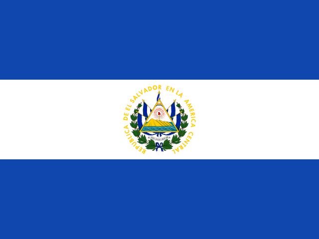
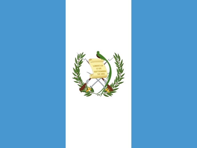
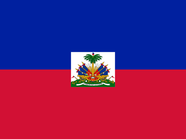
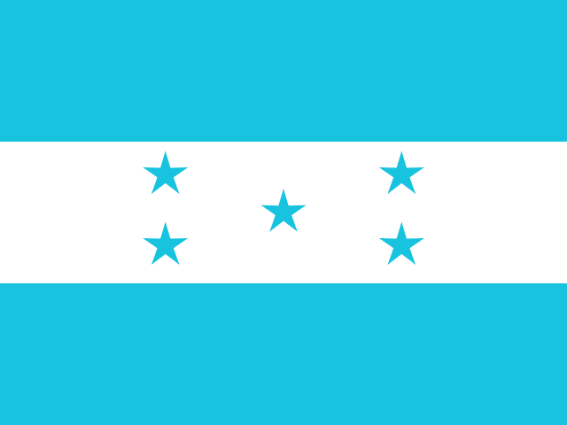
The Nicaragua visual practice page supports recognition of flags, emblems, and regional symbols for all 17 first-level regions. The Pacific belt is Chinandega, Leon, Managua, Masaya, Granada, Carazo, and Rivas; the northern highlands are Nueva Segovia, Madriz, Esteli, Jinotega, and Matagalpa; the transition group is Boaco, Chontales, and Rio San Juan; and the Caribbean side is North Caribbean Coast and South Caribbean Coast. Each symbol should be tied back to a region and cabecera.
Who plays For visual learners studying Nicaragua regional symbols
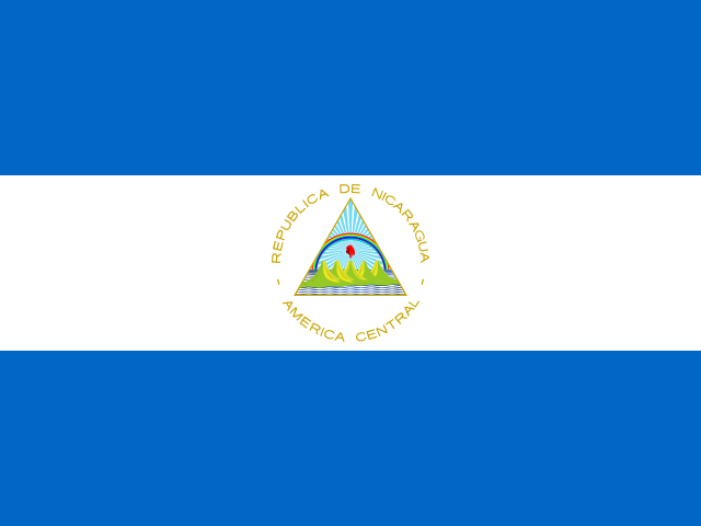
This Nicaragua flags page is for learners searching for regional emblems, department flags, autonomous-region symbols, or visual geography practice. It supports Spanish classrooms, diaspora learners, Central America study, travel preparation, and quiz review. The visual round is strongest after users know the map and can match each region with its capital.
Study plan Pair each symbol with a map clue
Use visual practice as the last layer. Attach each flag, emblem, or symbol to one place clue: Chinandega, Leon, Managua, Masaya, Granada, Carazo, and Rivas for the Pacific belt, Nueva Segovia, Madriz, Esteli, Jinotega, and Matagalpa for the highlands, Rio San Juan for the river corridor, and North Caribbean Coast and South Caribbean Coast for the Caribbean side. Then revisit capitals for reinforcement.