Iraq Map Learning Games

Use this Iraq map learning path for map, capitals, and flags or symbols practice for the country's 19 governorates. Start with the map to place Baghdad, the southern river and shrine belt of Basra, Dhi Qar, Maysan, Muthanna, and Al-Qadisiyyah, western and northern anchors such as Al Anbar, Nineveh, Saladin, and Kirkuk, and the Kurdish northeast at Duhok, Erbil, Sulaymaniyah, and Halabja. Then add capitals and visual symbols for a layered study path. Over time, the same path can broaden into longer map learning for regional and country review.

Build map recognition first, then match governorates to capitals, and finish with flags, emblems, or regional symbols tied to the same river, desert, southern, and mountain anchors.

Play Free

Iraq Games

Build Iraq map learning in layers

The path keeps broad Iraq geography intent separate from the specific pages. Use the map quiz for governorate placement, the capitals quiz for city recall, and the visual page for symbols connected to the same administrative map.


Frequently asked questions

Which Iraq map learning game should I play first?

Start with the Governorates Map Quiz. Once the Tigris-Euphrates corridor, southern governorates, western desert, northern plains, and Kurdish northeast are familiar, capitals and symbols are easier.

What can I practice from the Iraq map learning path?

The path links practice for Iraq's 19 governorates, their capitals, and visual flags, emblems, or regional symbols. The individual pages split those intents into map, capital, and visual recognition.

Should I learn Iraq capitals before symbols?

Yes. Capitals such as Dohuk, Mosul, Ramadi, Tikrit, Hillah, and Baqubah reinforce the map. Symbols work better after each governorate has a location and city anchor.

Why use symbols language for Iraq flags?

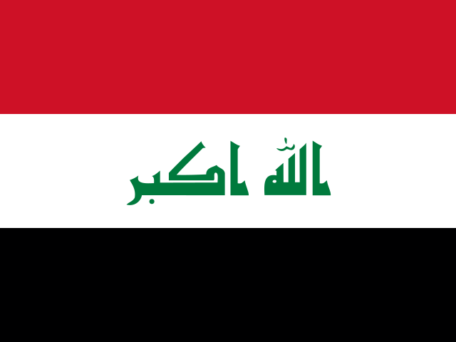
Regional visual assets may vary between flags, emblems, and official symbols. The page keeps the language broad while still connecting each visual cue to the same governorate geography.