Ecuador Map Learning Games

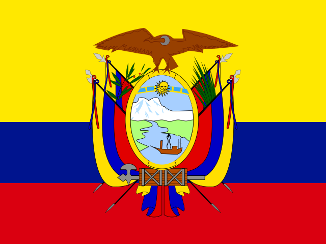
Use this Ecuador map learning path to start with geography games for map, capital, and flags or symbols practice for the country's 24 provinces. Begin with the map game to separate the Costa, Sierra, Amazon, and island province, using anchors such as Pichincha, Guayas, and Galapagos. Then match each province to its capital city and use visual practice as a final memory layer. Over time, the path can broaden beyond the signed-in Ecuador dashboard game for focused practice and review.

Start with the provinces map quiz, add capital matching when the four natural-region groups feel clear, then use flags and symbols to reinforce visual recall.

Play Free

Build Ecuador map learning recall by region

The path connects Ecuador's 24 provinces across map, capitals, and visual symbols. Learn the Costa, Sierra, Amazon, and island anchor first, then attach city and symbol clues to each province before broadening long-term.

Frequently asked questions

Which Ecuador map learning game should I start with?

Start with the provinces map quiz. Once the Costa, Sierra, Amazon, and Galapagos are clear, the capitals and visual-symbol pages are easier to use.

What does the Ecuador map learning path cover?

It covers Ecuador's 24 provinces, their capital cities, and regional flags or symbols using the same geography data across all related pages.

How should I study Ecuador provinces?

Use four groups: the Costa Esmeraldas, Manabi, Santa Elena, Guayas, Los Rios, and El Oro, the Sierra chain Carchi, Imbabura, Pichincha, Santo Domingo de los Tsachilas, Cotopaxi, and Tungurahua, the Amazon set Sucumbios, Napo, Orellana, Pastaza, Morona Santiago, and Zamora Chinchipe, and Galapagos as the island anchor.

Do I need an account to play the Ecuador games?

The SEO pages are public, but the playable dashboard opens after sign-up or login. An account keeps your Ecuador map, capitals, and visual-symbol practice connected to your profile.